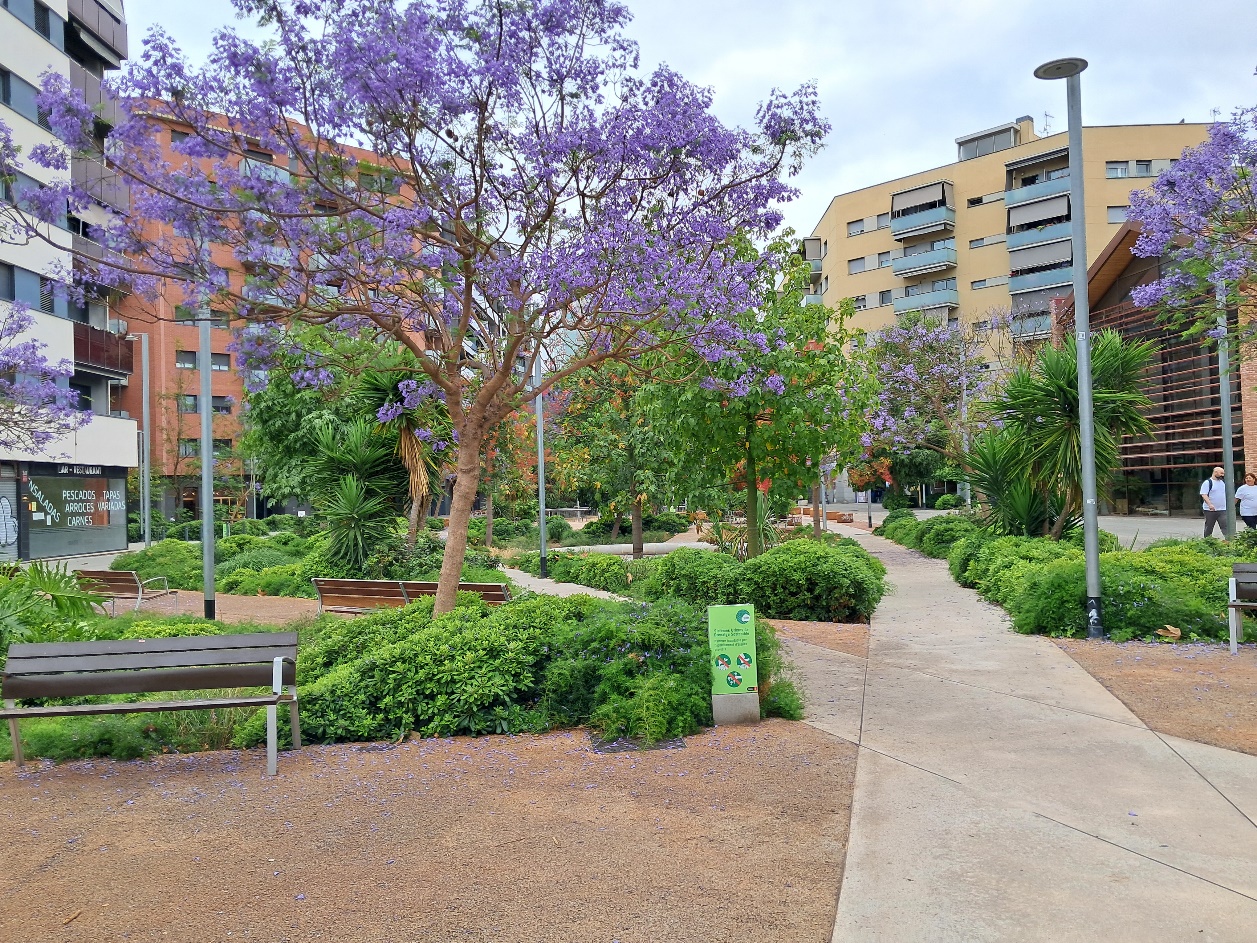
1UrbanCity wetland park for surface water co-creation in Barcelona, Spain
Spain · Mediterranean
A 3 ha linear SUDS wetland park harvesting rainwater across three city-centre streets for park maintenance, aquifer recharge, and drought-season reuse.
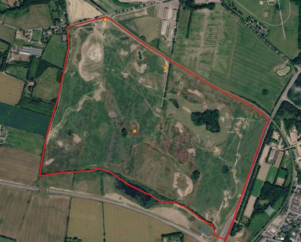
100 ha rewetting site south of Vilhelmsborg transforming former farmland into forest, ponds, meadows, and a new river valley.
Vilhelmsborg Syd is part of Aarhus Municipality's 300 ha new nature vision. The site's original land use was arable agriculture and grazing pastures. Over time, the area south of Vilhelmsborg will become a mosaic of planted forest, self-seeded woodland, ponds, and meadows with grazing animals, preserving long views to rolling terrain and cultural-historical features. The greatest landscape transformation will come from the creation of an entirely new river valley stretching toward the Giber River, where surface water will shape natural succession. Interventions include removing or blocking drainage, excavating new ponds, natural and assisted seeding, introducing large herbivores, and afforestation.
Socio-economic monitoring shows how people access, use, perceive, and engage with this showcase. It combines partner-uploaded social indicators with geo-based survey results where available.
Accessibility
—
Visitors
—
Sentiment
—
Survey responses
—
Well-being
—
Engagement
—
Awaiting 2025 data
Per assessment point: anonymous aggregated mean scores for sentiment (S2A), physical well-being (S2B), and mental well-being (S2C). Individual responses are never shown.

Assessment points — Sentiment
| Code | Indicator | What it measures | Source | Frequency | Status |
|---|---|---|---|---|---|
| S1A | Time accessibility | Population or travel-time access to the wetland | Partner upload / External Data Analysis | Annual | Awaiting 2025 data |
| S1B | Wetland visitors | Number of visitors per year | Partner upload | Annual | Awaiting 2025 data |
| S1C | Users accessibility | Potential users per km² | Partner upload / External Data Analysis | Annual | Awaiting 2025 data |
| S2A | Sentiment Index | Positive, neutral, and negative perception | Partner upload / geo-based survey | Annual / survey-based | Awaiting survey data |
| S2B | Physical well-being survey | Self-reported physical well-being | Geo-based survey | Survey-based | Survey not started |
| S2C | Mental well-being survey | Self-reported mental well-being | Geo-based survey | Survey-based | Survey not started |
| S3A | Public involvement | Participation in wetland-related activities | Partner upload | Annual | Awaiting 2025 data |
| S3B | Virtual engagement | Online or digital engagement level | Partner upload | Annual | Awaiting 2025 data |
| S3C | Social contribution to science | Number or percentage of public contributions | Partner upload | Annual | Awaiting 2025 data |
Gallery
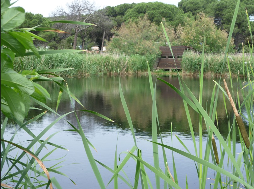
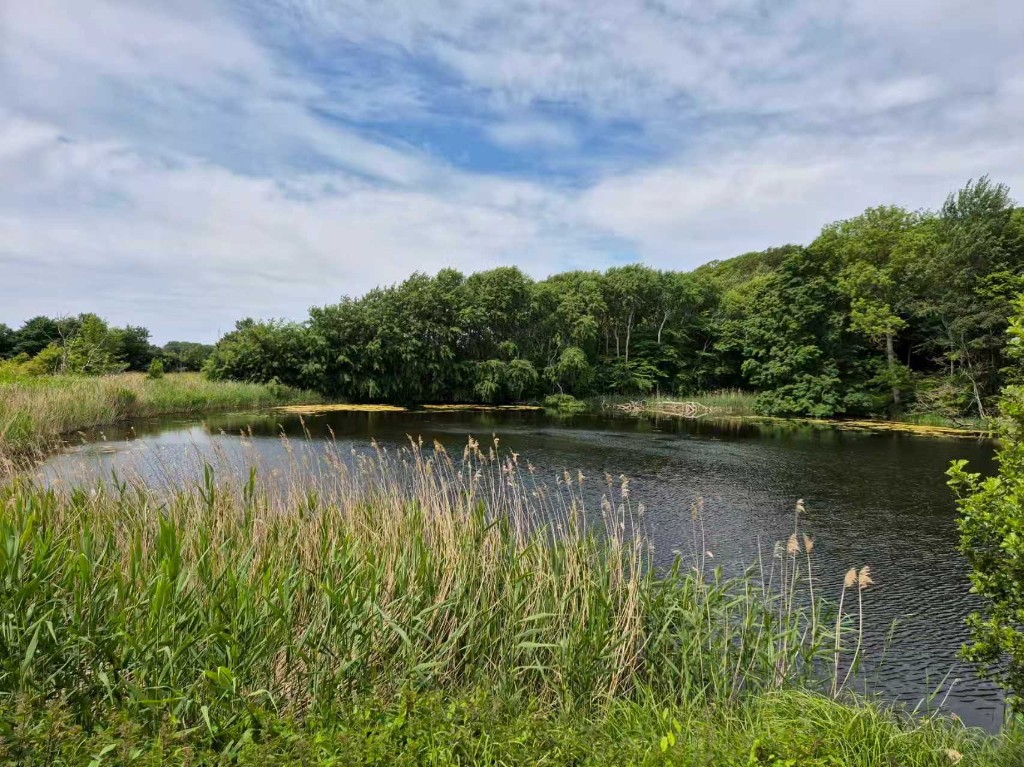
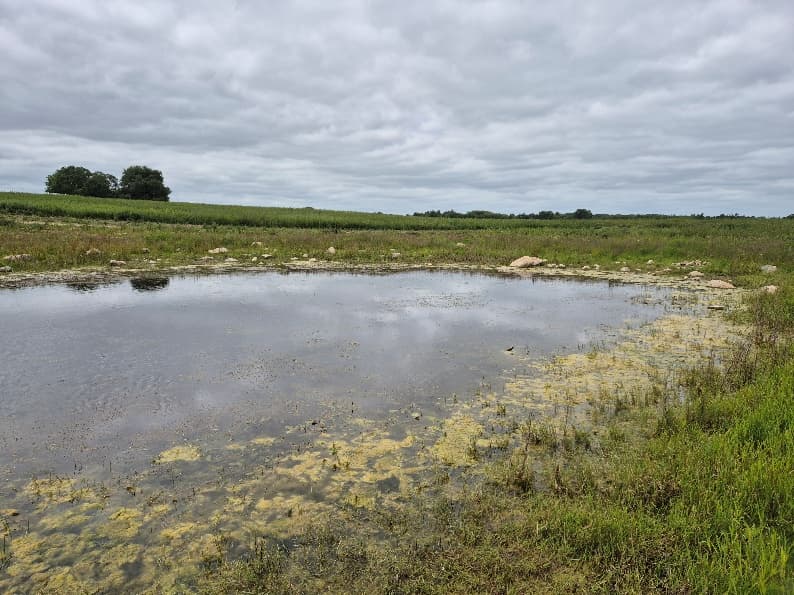
Images help communicate site context, monitoring activities, and nature-based solution interventions.
New nature area south of Vilhelmsborg
Rewetting and landscape transformation
Meadows and grazing management
Site layout and intervention zones
Continue exploring
1UrbanSpain · Mediterranean
A 3 ha linear SUDS wetland park harvesting rainwater across three city-centre streets for park maintenance, aquifer recharge, and drought-season reuse.
2UrbanSpain · Mediterranean
Environmental recovery site in Granollers with a 1.1 ha constructed wetland providing tertiary treatment and water reuse for the city.
4Peri-urbanDenmark · North temperate zone
Nature-based wetland reservoirs across Samsø island supporting irrigation, nutrient retention, and biodiversity in a dry island climate.
Compare showcase sites across Europe and explore monitoring outputs on the map.