NBS4Drought
Showcase 07

Polesie National Park Peatbog Conservation to safeguard sustainable water management, Poland

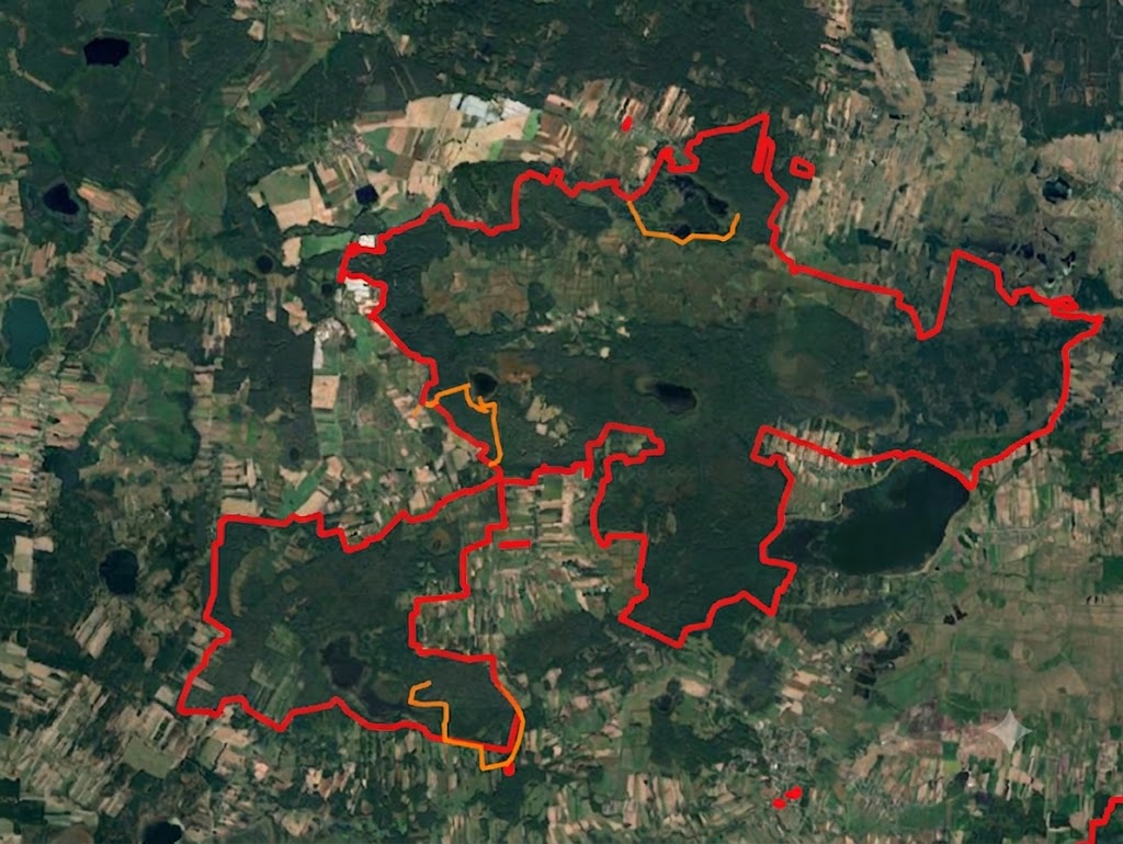
9,760 ha national park conserving Western Polesie's unique wetland, meadow, and forest mosaic and peatland water systems.

PolandTransitionalRural

Polesie National Park (Poleski Park Narodowy) was established on 1 May 1990 by decree of the Council of Ministers. The park protects the unique landscape of Western Polesie — exceptional in Poland and Europe — with rich wetland, meadow, and forest ecosystems linked to natural hydrological and soil processes. Goals include maintaining high biodiversity, countering wetland degradation from drainage, restoring degraded wetlands, protecting characteristic species such as European pond turtle and aquatic warbler, and supporting research, education, and responsible tourism. Western Polesie is part of a Ramsar site and a transboundary biosphere reserve.

Socio-economic monitoring shows how people access, use, perceive, and engage with this showcase. It combines partner-uploaded social indicators with geo-based survey results where available.

Accessibility

Awaiting 2025 data

Visitors

Awaiting 2025 data

Sentiment

Awaiting survey data

Survey responses

Survey not started

Well-being

Survey not started

Engagement

Awaiting 2025 data

Latest indicator overview

Awaiting 2025 data

JanFebMarAprMayJunJulAugSepOctNov
S1A Time accessibilityS1B Wetland visitorsS2A Sentiment Index

Geo-based survey summary

Per assessment point: anonymous aggregated mean scores for sentiment (S2A), physical well-being (S2B), and mental well-being (S2C). Individual responses are never shown.

SC7 — Polesie National Park — geo-based survey map
Planned points
3
Responses
Coverage
0%

Assessment points — Sentiment

  • "Perehod" tourist trailn=0 ·
  • "Dąb Dominik" tourist trailn=0 ·
  • "Spławy" tourist trailn=0 ·
Survey not started
Showcase boundaryTourist trailsAssessment points
PositiveNeutralNegative

Configured indicators (Socio-economic)

CodeIndicatorWhat it measuresSourceFrequencyStatus
S1ATime accessibilityPopulation or travel-time access to the wetlandPartner upload / External Data AnalysisAnnualAwaiting 2025 data
S1BWetland visitorsNumber of visitors per yearPartner uploadAnnualAwaiting 2025 data
S1CUsers accessibilityPotential users per km²Partner upload / External Data AnalysisAnnualAwaiting 2025 data
S2ASentiment IndexPositive, neutral, and negative perceptionPartner upload / geo-based surveyAnnual / survey-basedAwaiting survey data
S2BPhysical well-being surveySelf-reported physical well-beingGeo-based surveySurvey-basedSurvey not started
S2CMental well-being surveySelf-reported mental well-beingGeo-based surveySurvey-basedSurvey not started
S3APublic involvementParticipation in wetland-related activitiesPartner uploadAnnualAwaiting 2025 data
S3BVirtual engagementOnline or digital engagement levelPartner uploadAnnualAwaiting 2025 data
S3CSocial contribution to scienceNumber or percentage of public contributionsPartner uploadAnnualAwaiting 2025 data

Related forum discussions

  • Interpreting water quality trends for this showcase
  • Biodiversity monitoring data gaps
Open Forum

Gallery

Field images and visual material

Images help communicate site context, monitoring activities, and nature-based solution interventions.

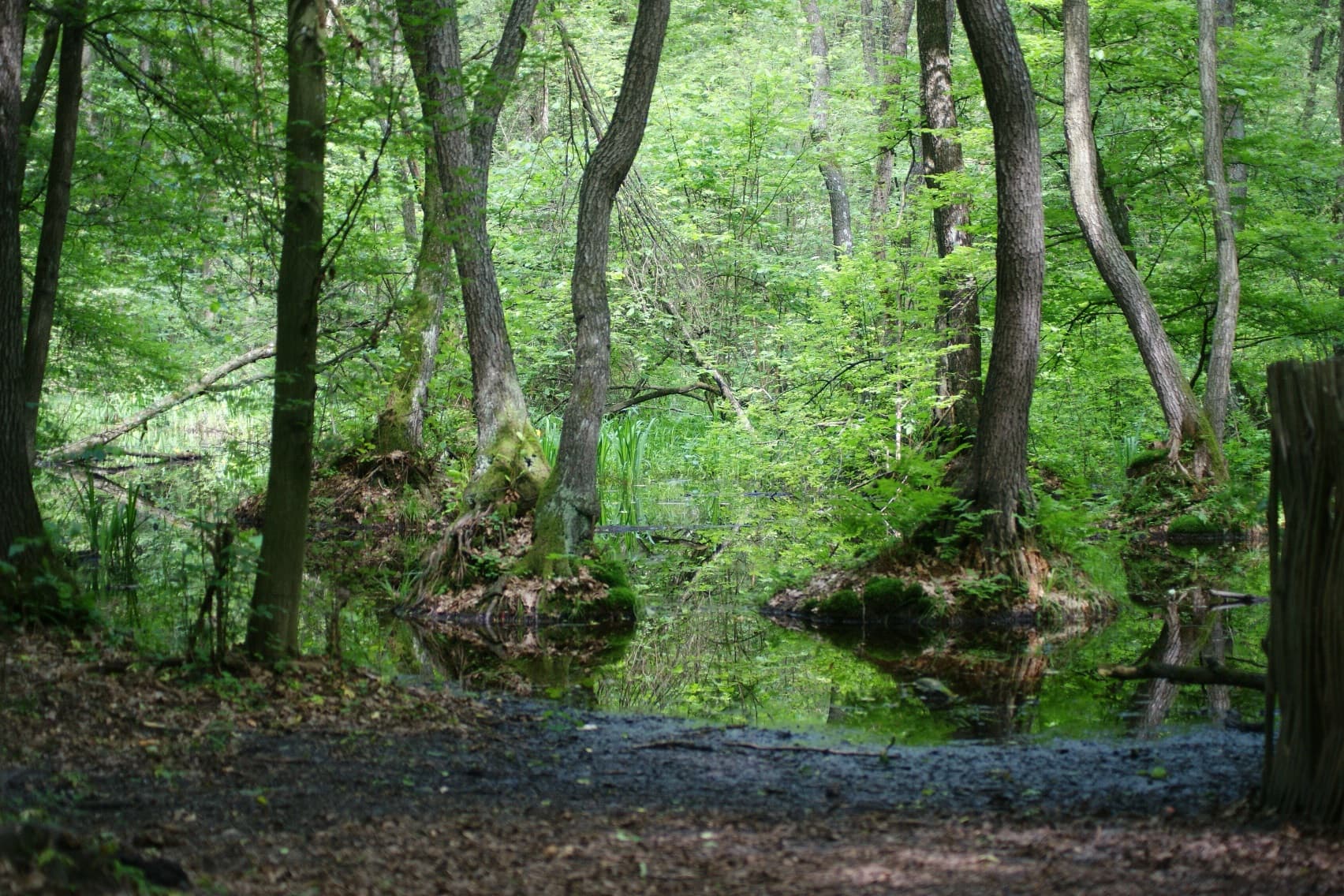
Alder swamp forest (photo: Kazimierz Kloc, PPN Archive)

Crane (photo: Jarosław Kochnio, PPN Archive)

European pond turtle (photo: Michał Arciszewski, PPN Archive)

Lake Łukie, Spławy Trail pier (photo: Bartłomiej Szymański, PPN Archive)

Observation tower at Durne Bagno peatbog (photo: Anna Myka-Raduj)

Durne Bagno with fruiting cottongrass (photo: Anna Myka-Raduj)

Trail Czahary (photo: Michał Arciszewski, PPN Archive)

Trail Dąb Dominik (photo: Anna Myka-Raduj)